Years ago, a man named Tom Lopez created what is commonly referred to as the “Boise Grand Slam.”
Here is our preview video for the Grand Slam:
Tom created the challenge to help get himself ready for bigger hikes later on in the year. These hikes are recommended to be done in the spring as the summer months in Idaho are brutally warm and can be very dangerous given the lack of trees for the Grand Slam hikes.
The first hike in the Boise Grand Slam is Cervidae Peak.
- Summit Height: 4,987 feet
- Elevation Gain: 2,054 feet
- Distance: Approximately 2.25 miles one way (Southeast Ridge route)
We recommend doing this hike first in the Grand Slam, although some argue that doing Kepros is easier. However, Kepros is 10 miles long and if you have not hiked before, that distance could be troublesome for some.
Make no mistake though, Cervidae is no easy hike if you haven’t worked out in a while and even seasoned hikers are going to get a good workout on this one.
When hiking Cervidae, prepare to do a lot of uphill climbing. Depending on how you count them, you have approximately 12 hills, many of them very steep, before you get to the top.
Kids in our family as young as six-years-old have done this hike so you can do it. Also, one year, we saw an eight-month pregnant woman doing it!
If you plan on doing this hike, be sure to start doing some stair masters beforehand.
There are a number of things to watch out for on this hike.
First, be sure that you watch out for snakes depending on the time of the year you hike this. We have seen snakes out there, although both of them were bull snakes. There are rattlesnakes out there though so watch out.
Second, There is one bypass on the trail and it has a rather steep dropoff. Nothing anyone can’t handle but be sure to pay attention. Down below on part of the bypass are huge rocks that are going to stop your fall and it’ won’t be pretty.
In the wintertime, there is a small chance of cougars being in the area but unlikely.
Speaking of wintertime, if you decide to try this in snow, bring the proper equipment and enjoy the herds of deer that frequently move through the area.
How do you get to Cervidae Peak?
The easiest way to figure out how to get there is to go to Google and type in “Spring Shores Marina.” This will take you up to the Lucky Peak reservoir area. Once you get to Spring Shores Marina, continue approximately 1 mile past Spring Shores Marina. On the right-hand side of the road will be a dirt/gravel parking area. You’ll notice it immediately as it is rather large compared to the rest of the road.
How do you find the trail?
After you park your vehicle, you are going to cross the road toward the big metal gate. You can’t miss it. BE CAREFUL crossing the road because some cars come flying down the road.
Once you have either went under or around the metal gate the dirt path leads up and to the right. You will notice a barb wire fence on the left-hand side of you.
After less than 1/4 of a mile, you will see a big huge hole in the fence and the trail will be easily recognizable from there. The trail to the top of the Cervidae is very prevalent given its high usage. Even in the dark, it would be hard to get lost on this trail.
When you are just over half-way done with the hike, you’ll come to a small flat area. Go to the edge of this area and off to the right will be the trail that goes down a big hill and then back up again.
This is your final push to the top.
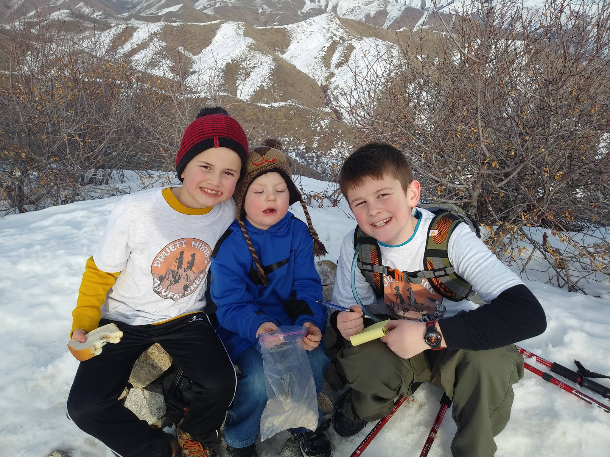
At the top of the trail is a “summit journal” where you can sign your name or whatever you would like to put in it.
Here is our video of Cervidae Peak: