Years ago, a man named Tom Lopez created what is commonly referred to as the “Boise Grand Slam.”
Here is our preview video for the Boise Grand Slam:
Tom created the challenge to help get himself ready for bigger hikes later on in the year. These hikes are recommended to be done in the spring as the summer months in Idaho are brutally warm and can be very dangerous, given the lack of trees for the Grand Slam hikes.
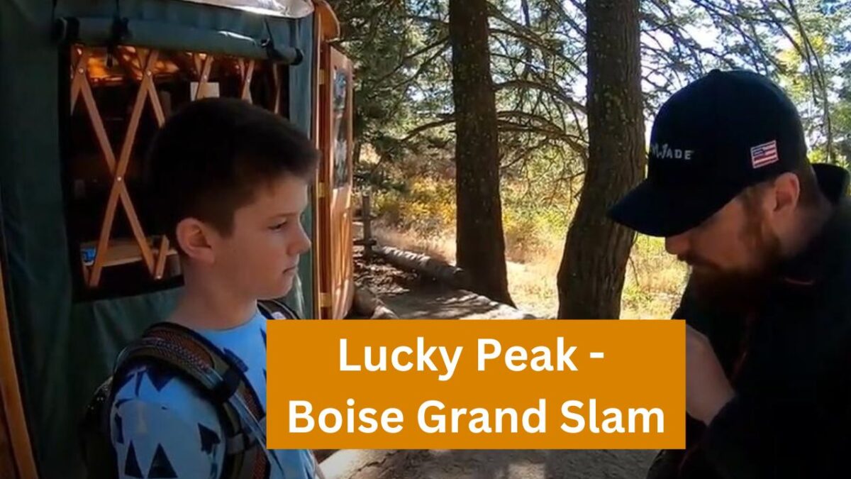
The third hike in the Boise Grand Slam is Shaw Mountain, more commonly referred to as Lucky Peak.
- Summit Height: 5,904 feet
- Approximate Elevation Gain: 3,032 feet
- Approximate Distance: Approximately 11.4 miles roundtrip (Golden Dawn Route)
We recommend doing this hike third. If you are able to do Cervidae with its steepness and Kepros with its distance, Lucky Peak is a mixture of both.
Lucky Peak is a very popular hike, and you will be hard-pressed to find yourself alone on the mountain when there is no snow on it. Even in the snow, it is climbed often.
The Homestead route is very straightforward. We say straight, but Lucky Peak is a LOT of switchbacks. You’ll wonder at times if you are ever going to get to the top.
At one point, approximately a mile from the top, you’ll pass right below the peak as the switchback takes you around the backside of the mountain.
The backside of the mountain is awesome, though, after hiking for a long time. It provides some much-needed shade.
Depending on the time of year you go, you can also run into various organizations doing bird studies at the resting area near the top. Beartooth got to release a small bird one time when we were hiking in August. It was really cool!
How do you get to Lucky Peak?
Google “Council Springs Road” in Boise. There isn’t an exact “starting point,” so to speak. But you will park in a small dirt parking lot next to some houses. You’ll know the spot when you see it.
How do you find the trail, and how hard is the hike?
After you park, there is an obvious gate that you will walk around. You will go up Council Springs Road for approximately 3/4 of a mile. Then, you will see the trail off to the right. Just take that trail and you are off and hiking!
Important Note: Several miles into the hike, you will come to a “fork” in the road. Take the trail that goes to the left. You’ll first cross around a giant gate. Do NOT go to the right.